Property Geek
We provide the actual and accurate information with unbiased user driven reviews to our viewers, to help them see the best and find the best!
View posts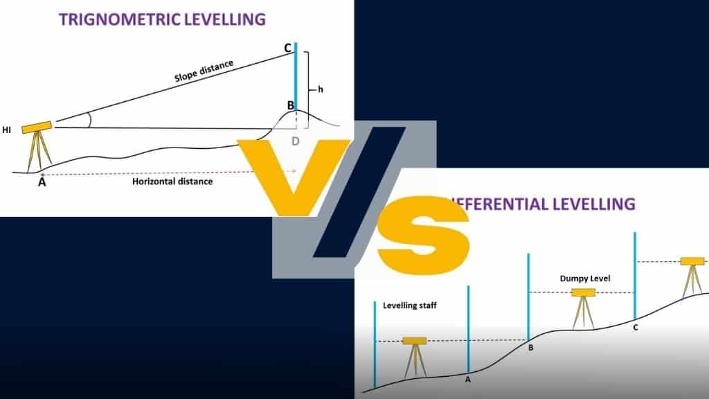
When it comes to Leveling in surveying is a crucial technique that measures the height difference between two or more points. It provides a reliable reference for vertical distances, making it essential for successful construction and engineering projects. There are different types of levelling methods in surveying, each tailored for specific applications.
From direct levelling to trigonometric levelling, barometric levelling, stadia levelling, digital levelling, and laser levelling, each method offers its unique advantages and techniques to achieve precise measurements. But what is levelling, exactly? Let’s take a closer look.
At its core, levelling is the process of measuring vertical distances relative to a reference point, usually a benchmark or known elevation point. It’s critical for many construction and engineering projects, such as building roads, bridges, and high-rise buildings, as well as in agriculture for land levelling and irrigation design. In this article, we’ll explore the different types of levelling in surveying and the sub-methods used within each type to understand how they ensure the accuracy and safety of our construction projects.
The most commonly used types of levelling used in surveying for measuring level differences of different points concerning a fixed point are:
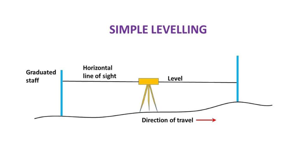
Differential levelling is one of the most commonly used types of levelling techniques in surveying. It is a precise method for measuring the height difference between two points and is often used in construction, civil engineering, and topographic mapping.
The technique involves setting up a level instrument at a benchmark or known point and then taking a series of measurements of the height of a target point. The height of the target point is then calculated by subtracting the height of the instrument from the height of the target point. Differential levelling can be used to measure the height difference between two points that are several kilometres apart. Here are different types of Differential levelling:
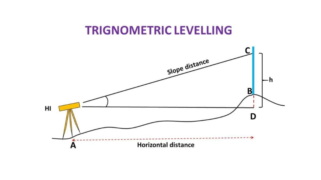
Trigonometric levelling in surveying, another type of levelling in surveying, is a technique that uses trigonometric calculations to determine the height of a point. This method is often used in situations where it is not possible to set up a level instrument, such as in remote areas or where there are obstacles in the way.
Trigonometric levelling is generally less accurate than differential levelling but can be useful in areas where direct measurements are not possible. It involves measuring the angle of elevation or depression from the instrument to the target point, as well as the horizontal distance between the instrument and the target point. The height of the target point can then be calculated using trigonometric functions. Here are a few types of Trigonometric levelling.
Barometric levelling uses a barometer to measure atmospheric pressure at different elevations. This method is often used in situations where the elevation difference between points is small, and the survey area is relatively small.
It involves measuring the atmospheric pressure at a known elevation and then measuring the atmospheric pressure at the target elevation. The height of the target point can then be calculated based on the difference in atmospheric pressure. Here are a few types of Barometric levelling:
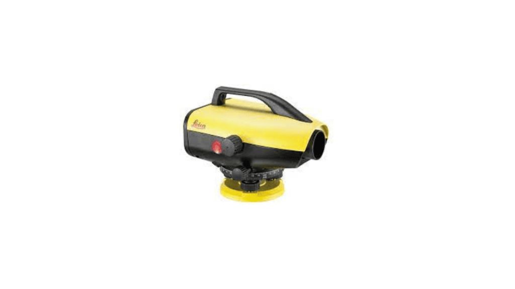
Digital levelling is a modern and efficient technique of levelling in surveying that involves using an electronic instrument to measure the height difference between two points. It is faster and more efficient than traditional levelling techniques, and the measurements can be recorded digitally for easy analysis and processing.
Digital levelling instruments are often equipped with automatic compensators, which adjust for any errors in the instrument’s line of sight. The measurements can also be transmitted wirelessly to a computer for real-time data processing. Here are a few types of Digital levelling:
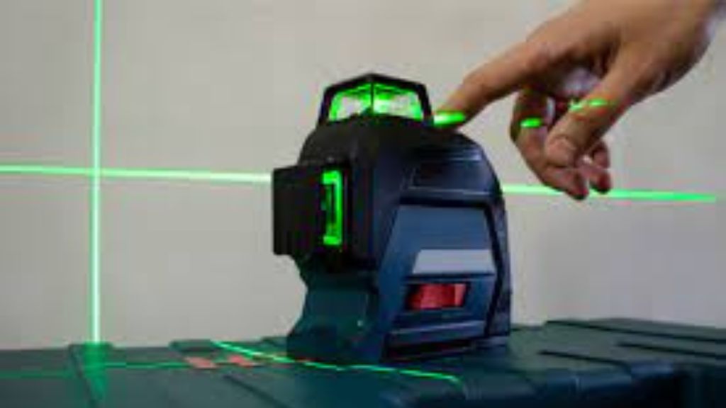
Laser levelling is a technique that uses a laser to measure the height difference between two points. This method is commonly used in construction projects to ensure that the surface is level and even. Laser levelling is generally more accurate than traditional levelling techniques but is also more expensive.
It involves projecting a laser beam onto a target surface and then measuring the distance from the laser beam to the target surface using a sensor. The height difference between the two points can then be calculated based on the distance between the laser beam and the target surface. Laser levelling is often used in combination with other types of levelling techniques to achieve a high level of accuracy. Here are a few types of Laser levelling:
Automatic slope matching: This technique involves using a motorised levelling process to automatically adjust the slope of the laser beam to match the desired slope of the surface being levelled. This is done using sensors and software that control the movement of the laser instrument. Automatic slope matching is faster and more accurate than manual slope matching.
Levelling surveying technique plays a critical role in construction, civil engineering, and topographic mapping. The various types of levelling techniques, including differential, trigonometric, barometric, digital, and laser levelling, offer a range of options for accurately measuring the height difference between two points. Each technique has its advantages and limitations, and the choice of technique depends on the specific needs of the survey.
With the rapid advancement of technology, digital and laser levelling techniques have gained widespread acceptance and are becoming increasingly popular due to their speed and accuracy. However, traditional techniques such as differential levelling and trigonometric levelling remain vital for surveying in areas where digital or laser instruments cannot be used.